
i was commissioned to create an illusrated children's map by the company sport environment. it is a land map of plymouth and it's many landmarks. Land marks such as smeaton's tower, the mayflower steps, and drake's island.

completed map design
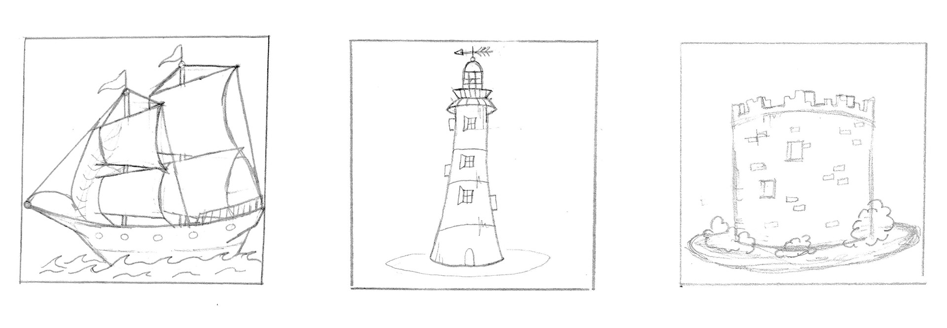
pencil drawings
The image features the initial drawings of a vast ship, smeaton's tower, and mount batten

landmarks/spot illustrations
the image features a vast ship, royal william yard, and fort bovisand.

for more information on sport environment and what they do, click the compass!